The Special Planning Program (PPU) for the Southeast sector of the City was adopted by…
mugi19 September 2025
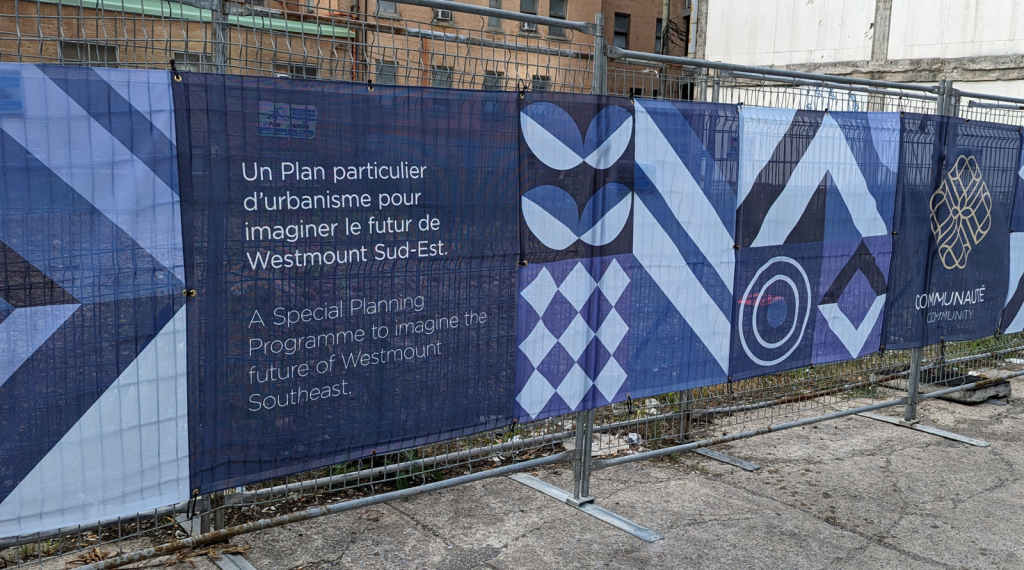
Special Planning Programme
Imagine the future of the Southeast sector!
A Special planning programme (SPP) allows the existing urban plan to be modified. As part of this project, the SPP will make it possible to direct urban planning guidelines over a specific area, and to rethink the Southeast sector.
The Westmount Master Plan sets out the City’s broad planning and development guidelines. This plan, along with its implementing instruments (such as the zoning by-law and the by-law on site planning and architectural integration), establishes a framework for the protection and, in some cases, redevelopment of neighbourhoods, streets, buildings and vacant spaces.
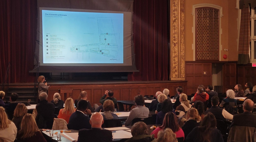
This SPP will be a catalyst for the revitalisation of the southeast sector of Westmount, and citizen participation will contribute greatly to its success.
Throughout the project, participatory phases will put forward the ideas of those who live in the area, notably through a survey and public consultations.
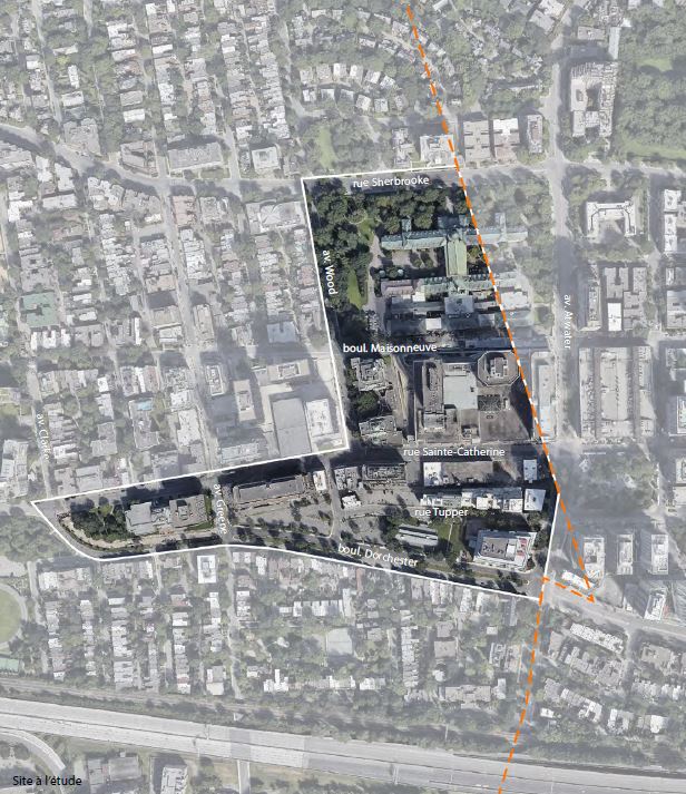
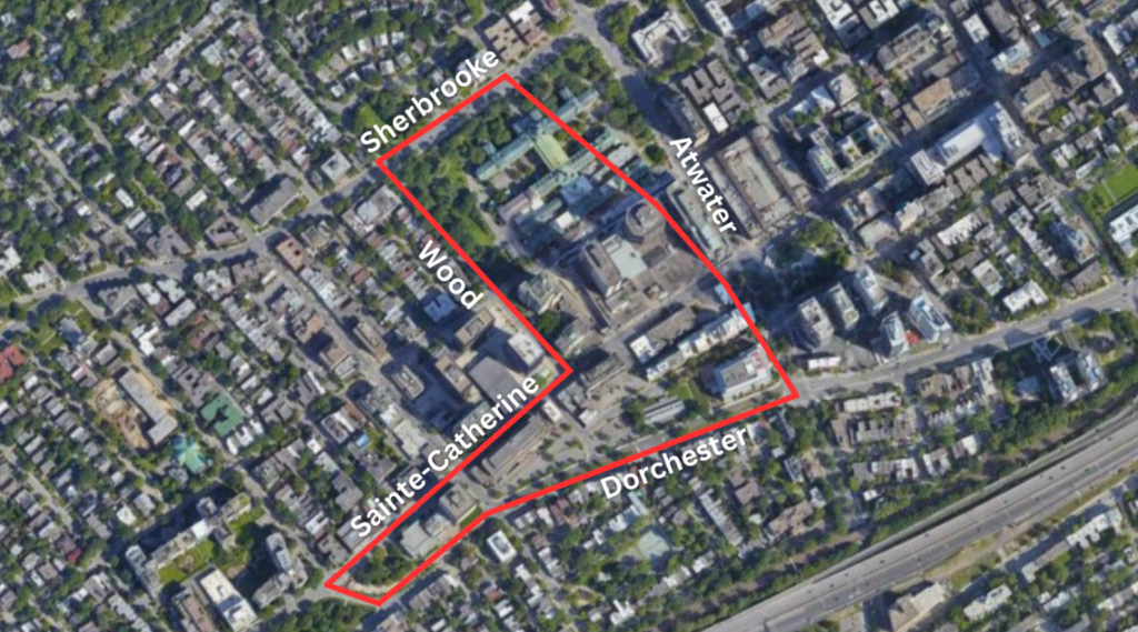
The target sector is bounded by Sherbrooke Street to the north, Atwater Avenue to the east, Dorchester Boulevard to the south and Wood Avenue to the west. It also includes the area between rue Sainte-Catherine and boulevard Dorchester, from their junction in the west to avenue Wood in the east.
The Special Planning Programme for the Southeast sector of the City was adopted by Council at a special meeting held on Thursday, September 18, at Westmount City Hall.
As required before the SPP may come into effect, a Certificate of Compliance from the Agglomeration of Montreal was received within 120 days of its adoption. The certificate was signed on December 5, 2025, and may be consulted here.
This report was prepared following meetings held with residents and community stakeholders in the spring and summer of 2024. This document aims to reflect the main issues and concerns raised during these initial consultations on the Southeast sector of Westmount.
| STEPS | DATE |
| Final adoption | Septembre 8th 2025 |
| Agglomeration conformity certificate | 120 days maximum after the adoption |
| Entry into force | To be determined depending on the Agglomeration's compliance |